Are you the owner of this business?
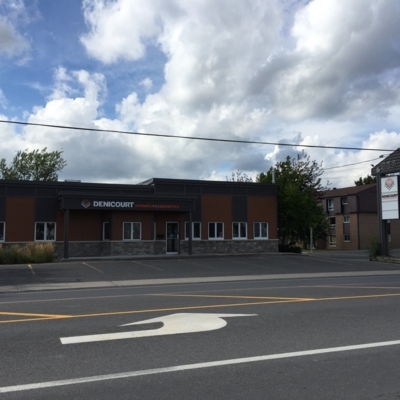
Denicourt Arpenteurs-Géomètres Inc
Denicourt Arpenteurs-Géomètres Inc
104 Rue du Sud, Cowansville, QC J2K 2X2
Details
Information
Reviews
Location
Dealers List

104 Rue du Sud, Cowansville, QC J2K 2X2
Get directions
Levé Cadastral, Mesure, Certificat De Localisation, Droit Foncier, Mesurage, Plan Topographique, Implantation De Pieux Et D'axes, Piquetage, Bornage, Description Technique, Projet D'implantation, Arpenteurs-Géomètres, Levé topographique, Plan De Cadastre, Projet Lotissement, Modèle Numérique De Terrain (MNT), Plan De Nivellement De Terrain, Boma, Opération Cadastrale

1009 rue Notre-Dame, Saint-Rémi, QC J0L 2L0
Get directions
Certificate Of Location, Digital Terrain Modelling (DTM), Staking, Boundary Marking, Cadastral Plan, Land Surveyors, Cadastral Operation, Site Plan, Technical Description, Boma, Structure, Pile And Axis Layout, Topographic Survey, Cadastral Survey, Lot Grading Plan, Site Plans, Layout, Subdivision Plans, Housing Development
195, rue Saint-Joseph, Chambly, QC J3L 1H6
Get directions
Land Surveyors, Staking, Boundary Marking, Site Plan, Cadastral Operation, Technical Description, Topographic Survey, Subdivision Plans, Housing Development, Site Plans, Layout, Structure , Pile And Axis Layout, Boma, Digital Terrain Modelling (DTM), Certificate Of Location, Cadastral Plan, Cadastral Survey, Lot Grading Plan
865 Bd d'Iberville, Saint-Jean-Sur-Richelieu, QC J3L 1H6
Get directions
Land Surveyors, Certificate Of Location, Staking, Boundary Marking, Site Plan, Cadastral Operation, Technical Description, Cadastral Plan, Cadastral Survey, Topographic Survey, Subdivision Plans, Housing Development, Site Plans, Layout, Structure , Pile And Axis Layout, Boma, Lot Grading Plan, Digital Terrain Modelling (DTM)

300-3883 Boul Saint-Jean, Dollard-Des-Ormeaux, QC H9G 3B9
Get directions
Land Surveyors, Certificate Of Location, Staking, Boundary Marking, Site Plan, Cadastral Operation, Technical Description, Cadastral Plan, Cadastral Survey, Topographic Survey, Subdivision Plans, Housing Development, Site Plans, Layout, Structure , Pile And Axis Layout, Boma, Lot Grading Plan, Digital Terrain Modelling (DTM)
7325 Ch De Chambly, Saint-Hubert, QC J3Y 3S1
Get directions
Land Surveyors, Certificate Of Location, Staking, Boundary Marking, Site Plan, Cadastral Operation, Technical Description, Cadastral Plan, Topographic Survey, Cadastral Survey, Subdivision Plans, Housing Development, Site Plans, Layout, Structure, Pile And Axis Layout, Boma, Digital Terrain Modelling (DTM), Lot Grading Plan